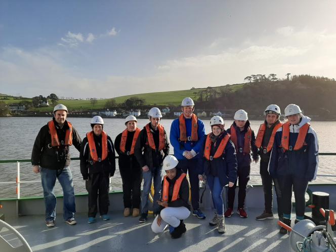
Maynooth students on instensive 2 day boat trip mapping Cork Harbour
Monday, April 20, 2020 - 10:00
A new Masters module specialising in remote sensing and the principles of seabed mapping has been successfully delivered by a joint partnership between the Maynooth University Department of Geography and Ireland's marine mapping programme - Integrated Mapping for the Sustainable Development of Ireland’s Marine Resource (INFOMAR). The level 9 post-graduate module, GY643 Marine Remote Sensing – INFOMAR, teaches students about the science of seabed mapping by providing a combination of class based learning and practical offshore survey experience. Students spent a week in Maynooth in January learning theory and data processing skills and then an intensive 2-day period on a boat mapping Cork harbour in February.
See full press release here.