An important new online interactive tool which examines the socio-economic performance of Ireland’s Gateways and Hubs cities and towns is now available following a launch in the Custom House, Department of the Environment, Community and Local Government. The interactive tool tells the story at an easy glance as to how the Cities and Towns designated as Gateways and Hubs under the National Spatial Strategy are performing in terms of economic and social development. The dashboard or interactive tool is available on the Regional Assemblies websites (www.bmwassembly.ie and www.seregassembly.ie).
The Index, originally published by the Border, Midland and Western (BMW) Regional Assembly and the Southern and Eastern (S&E) Regional Assembly, has now been further enhanced to provide easy access to its results via an interactive dashboard developed by the All-Island Research Observatory (AIRO) at Maynooth University. The Regional Assemblies collaborated with the Department of the Environment, Community and Local Government in the production of the Index and the next phase will see the development of a mapping module which will be embedded in the Department’s myplan website.
The Index establishes what is termed the functional area of each of the urban centres studied. This methodology acknowledges that the economic reach of the cities and towns extends beyond the administrative boundaries and includes a number of contiguous electoral districts. While the geographic reach is subject to change over time based on development factors the Index provides a valuable aid for policy-makers as to the influence the urban core has on its hinterland. Spatial and socio-economic planning can benefit from this analysis, allowing for a greater emphasis on place-making planning policies to enable a more informed approach to managing diverse growth patterns, agglomeration effects and developmental challenges.
Speaking at the launch, Mr Stephen Blair, Director of the S&E Regional Assembly said “given the vast amount of useful data contained in the Development Index we were very keen to bring it to a wider audience to make the material as accessible as possible. Therefore we were delighted to work with our colleagues at AIRO, Maynooth University who are experts in the area of data analytics and presenting complex data in an attractive and understandable fashion. We hope that the fruits of this collaboration in the form of this dashboard will be widely used”
Mr Gerry Finn, Director, BMW Regional Assembly welcoming the addition of the online tool, said “the update of the Index has resulted in the collation of a rich seam of data that merits sharing on as wide a basis as possible. The dashboard represents our commitment towards open source data sharing arising from the Gateways and Hubs study and brings the data to as wide an audience as possible”.
Speaking at the launch, Prof Jim Walsh, Vice President, Maynooth University said "This valuable new digital resource is an important step forward in understanding and monitoring the development of our key cities, towns and associated hinterlands. The results from the Index will allow for far greater integrated and informed decision making and more accurate forward planning. Disseminating the results in such an accessible format will also encourage an increased level of citizen engagement in the planning and development process."
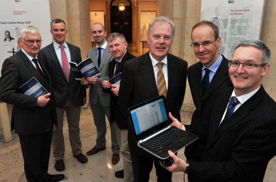
Photocaption: L to R: Prof Jim Walsh, Vice President, Maynooth University; Mr. Justin Gleeson, Director, AIRO, Maynooth University; Mr Stephen Purcell, Future Analytics Consulting; Mr Billy Hynes, Future Analytics Consulting; Mr Gerry Finn, Director, BMW Regional Assembly; Mr Niall Cussen, Senior Planning Adviser at Department of the Environment Heritage and Local Government and Mr Stephen Blair, Director of the S&E Regional Assembly