The Environmental Sensitivity Mapping (ESM) Webtool is a novel GIS decision support tool for Strategic Environmental Assessment (SEA) and planning processes in Ireland. Bringing together more than 100 public datasets, the tool allows planners to examine environmental considerations within their plan area and create plan-specific environmental sensitivity maps. These maps can help planners anticipate potential land-use conflicts, thus informing the identification of suitable development locations while protecting the environment.

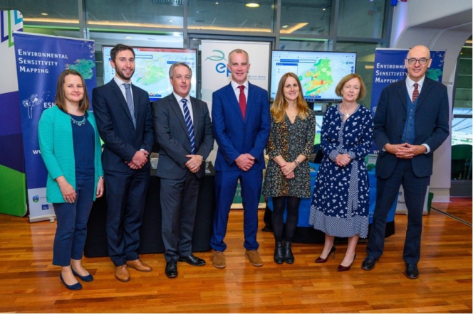
Pictured at the launch of the ESM Webtool at the Environment Ireland 2019 conference (L to R): Tara Higgins (EPA), Eoghan McCarthy (AIRO), Colin Bray (OSi), Justin Gleeson (AIRO), Ainhoa González (UCD), Laura Burke (EPA), Matt Crowe (EPA).
This web-tool is a collaborative public sector data project between the UCD School of Geography (concept and design) and the All-Island Research Observatory (AIRO) at Maynooth University (analytics and mapping). The research project is funded and supported by the Environmental Protection Agency (EPA) and the Office of the Planning Regulator (OPR) and hosted by the Ordnance Survey Ireland (OSI) on GeoHive, the State Geospatial DataHub.
You can find out more about this at https://www.enviromap.ie
The following video also provide an illustrated overview of the ESM tool

