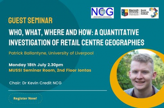
Patrick Ballantyne is a postdoctoral research fellow based in the Geographic Data Science lab at the University of Liverpool. Nearing submission of his PhD thesis, Patrick’s research is broadly situated within retail and urban geographies, and the applications of methods from spatial analysis, GIS and machine learning to improve understandings about different spaces of consumption.
Abstract
Retail centres, the primary sites of consumption in urban areas, occupy a significant role in determining urban prosperity and vibrancy. Facing significant pressure from the legacy impacts of the 2008 recession, the ever-growing popularity of e-commerce, and more recently, the COVID-19 pandemic, physical sites of consumption, i.e. retail centres, face significant threat, as evidenced by increasing vacancy rates. We argue that policy action is required to protect the ‘brick-and-mortar’ component of the retail sector, which can only be made possible through comprehensive understanding of retail centre geographies; helping to understand where action is required and assess it’s effectiveness.
In this presentation, Patrick discusses some of his work in quantifying such geographies, by asking a series of questions about retail centres; where are they located, what characteristics do they have, who uses them (the three W’s), and finally how we can use them as geographic data tools to better understand wider retail sector processes. In particular, he presents some highlights of work seeking to quantify the three W’s for the national extent of the U.S. using a large POI and mobility dataset from SafeGraph. Patrick also presents some preliminary analyses utilising machine learning techniques to improve understandings about retail centre mobility during the COVID-19 pandemic, using some new Consumer Data Research Centre (CDRC) data products.
